Route 100 threads the spine of the Green Mountains for 216 miles and is the state’s most traveled fall foliage road, but Vermont’s full foliage circuit pulls in the Northeast Kingdom, the Upper Valley, and back roads most drivers never find. Here is how to drive it right.
Why Route 100 Is the Core of Any Foliage Drive
Vermont Route 100 runs 216 miles from the Massachusetts border near Whitingham north to Newport on Lake Memphremagog. It threads through the spine of the Green Mountains, connecting towns like Londonderry, Ludlow, Rochester, Waitsfield, Stowe, and Morrisville without touching an interstate for most of its length. No highway in the state comes close to matching it for fall color because Route 100 stays in the valleys with the ridgelines rising on both flanks. When the maples and beeches turn in early October, you are surrounded on both sides.
That said, Route 100 is only part of the picture. The Northeast Kingdom, covering Orleans, Caledonia, and Essex counties in the far northeast, hits peak color one to two weeks ahead of the southern Green Mountains, typically mid-to-late September. Completing a proper foliage circuit means layering in Route 2 east of Montpelier, the back roads through hill towns like Peacham and Cabot, and Route 4 through Woodstock and Quechee Gorge in the Upper Valley. The full route described here connects all of those pieces. For the detailed day-by-day driving plan, see the Vermont Fall Foliage Road Trip itinerary.
The Route: Key Stops from North to South
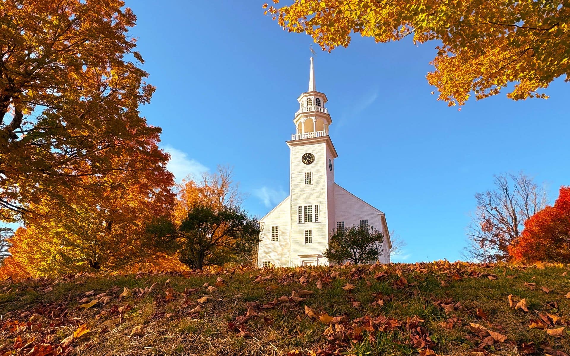
A north-first circuit makes logical sense because foliage color moves from north to south and from high elevation to low. Start in the Northeast Kingdom around St. Johnsbury, the regional hub roughly 40 miles east of Montpelier and about a 2-hour drive from Burlington International (BTV). From St. Johnsbury, Route 2 heading west takes you through Concord, Marshfield, and Plainfield toward Montpelier, with farm-lined hills and ridge views turning amber and red as early as September 18 in a typical year. A short detour south on Route 215 to Peacham earns you one of the best hill-town views in the state: a white church above open pasture with hillsides turning in every direction and almost no commercial traffic on the road.
From Montpelier, pick up I-89 south to Exit 10 in Waterbury and join Route 100. Waterbury sits at the natural gateway to the Route 100 corridor. The Ben & Jerry’s Factory is right on Route 100 in Waterbury (tour tickets run around $4 per adult, an estimated price), and Cold Hollow Cider Mill is a few miles north in Waterbury Center. The town itself has built one of the strongest stretches of craft beer in Vermont, which is saying something given the state’s density of breweries. If you want a deeper look at the beer stops along this section, the best vermont breweries to visit post covers the Route 100 corridor. For the full factory experience, the ben and jerrys factory tour guide walks you through what to expect on site.
South of Waterbury, Route 100 climbs toward Stowe village. The side trip up Route 108 (Mountain Road) from Stowe into Smugglers Notch takes about 20 minutes each way and delivers some of the most dramatic foliage scenery in the state. The 1,000-foot cliffs and house-sized boulders at the notch frame maples going full orange in the first days of October. Route 108 is narrow with no guardrails at the top, so no RVs, no trailers, and no turning around once you commit to the one-lane section. It closes to vehicles once snow accumulates on the cliffs, usually sometime in November.
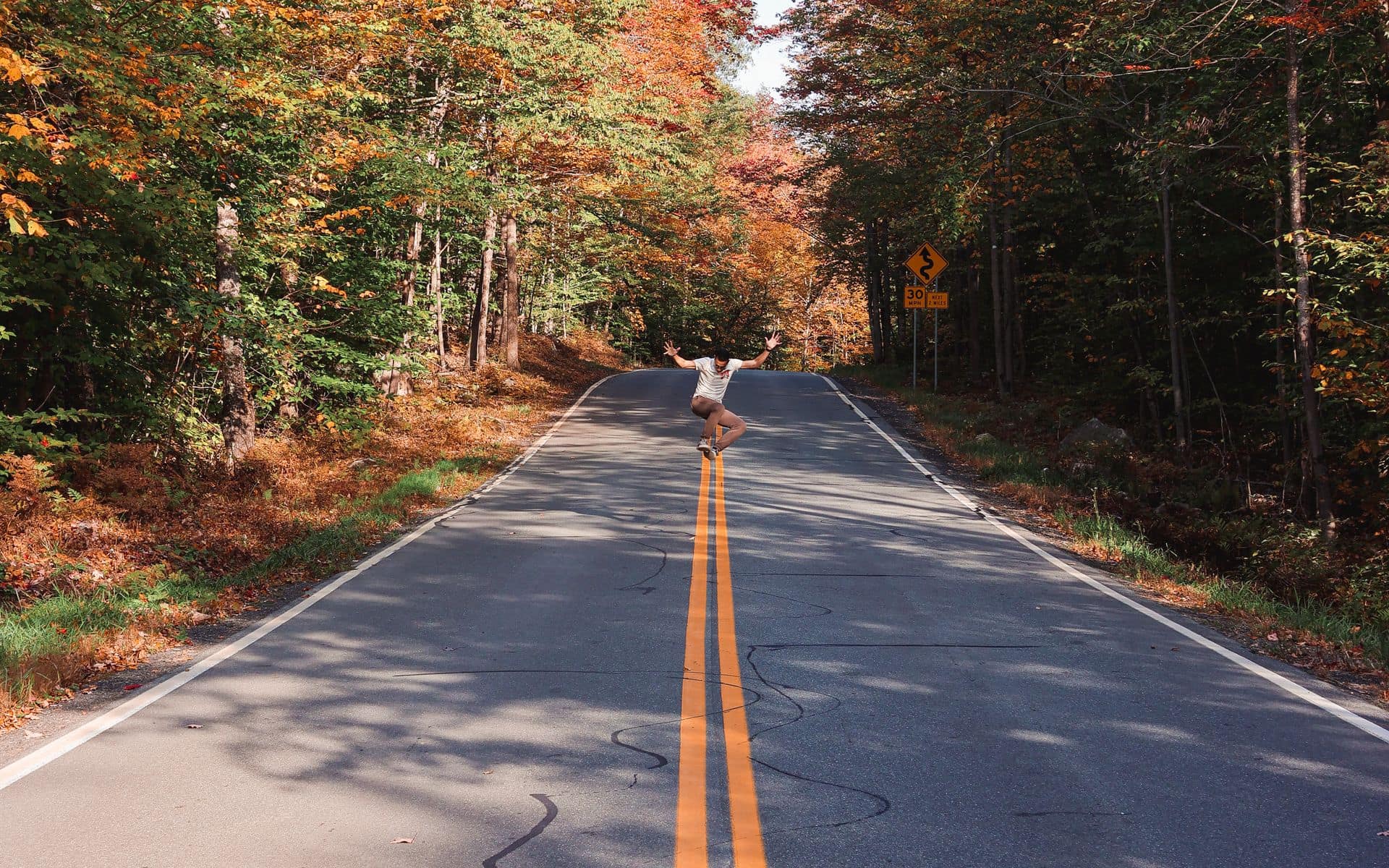
Continuing south on Route 100 through Moretown brings you into the Mad River Valley around Waitsfield and Warren. This section typically peaks in the first two weeks of October. The valley floor has covered bridges, hill farms, and ridgeline views that compress a lot of Vermont scenery into a short distance. Route 100 here is narrow and two-lane; plan on 30 mph average pace and busier conditions on weekend mornings during peak week. From Warren, you can press on south through Stockbridge and Ludlow to complete the Route 100 run, or cut east on Route 107 to Route 4 and the Woodstock corridor. Woodstock village and Quechee Gorge on Route 4 both peak in the second and third weeks of October, making them a natural add-on to the circuit.
When Each Part of the Route Peaks
Vermont’s foliage timing shifts by latitude and elevation, and the window at each point on this route is real. The Northeast Kingdom, including St. Johnsbury, Peacham, and Cabot, typically peaks September 18 through September 30 in a normal year. High ridgelines near Stowe and Mount Mansfield follow closely, usually turning between late September and the first days of October. The Mad River Valley and Killington area come in from roughly October 1 through October 12. Woodstock and the Upper Valley on Route 4 land in the October 8 through October 18 window. The southern Green Mountains around Manchester and Brattleboro are typically last, peaking October 10 through October 20.
These windows shift by a few days each year based on summer drought and early September temperatures. A dry August tends to push the color earlier and more saturated. A warm, wet September can delay it. For updated season-by-season timing and what to watch for in a given year, the Best Time to Visit Vermont page has the full breakdown. The Vermont Travel Guide also has regional pages for each part of the state if you want to narrow your focus to one corridor.
Side Roads That Outperform the Main Route
Route 100 gets the attention, but a few side roads consistently deliver better color and far less company. Route 12 between Woodstock and Montpelier winds 45 miles through Barnard, Bethel, and Northfield on two-lane roads with almost no through traffic. The maples along this stretch get thick enough in places that the road runs under a tunnel of orange and gold. Budget 90 minutes for the drive with stops, and longer if you stop at any of the dairy farms or sugarhouses along the way.
Route 2 east of St. Johnsbury toward Concord, Lunenburg, and the Connecticut River on the New Hampshire border is rarely mentioned on foliage drive lists. The hills stay wild and densely wooded, the towns are small, and the timing tracks with the Northeast Kingdom peak, making it a natural extension if you are already starting the circuit from the north. The Mount Mansfield Toll Road, open from late spring through late October (vehicle fee estimated at $35 per car), lets you drive partway up Vermont’s highest peak and walk the ridge for 360-degree color views across the Lamoille Valley. Cell service is minimal on the upper section, so bring a downloaded offline map.
One more worth knowing: the back road south from Peacham to Barnet drops through hill country that rivals anything on Route 100 for color intensity, and you will rarely share it with another car. It is unpaved in sections, so a standard sedan handles it in dry conditions but AWD is easier. Bring the offline map here too.
Driving Logistics Before You Go
Vermont’s two-lane roads mean the foliage route is slow by design. Plan for a 30-to-35 mph average between towns, not highway pace. Gas stations thin out north of Stowe and through the Northeast Kingdom, so fill up in St. Johnsbury, Montpelier, or Waterbury before heading into back-road territory. Cell service drops through Smugglers Notch on Route 108 and in many Northeast Kingdom hollows. Download offline maps through Google Maps or maps.me before you leave.
Lodging along the route fills completely for the last weekend of September and first two weekends of October. Stowe, Woodstock, and the Northeast Kingdom are the tightest markets: book 4 to 6 weeks ahead at minimum, or plan to base yourself 30 to 45 minutes outside peak areas and drive in. Parking in Stowe village and Woodstock gets congested on peak weekends, with lots filling by mid-morning. Arriving before 9 a.m. or after 3 p.m. gives you a much calmer experience and better light for photos.
Frequently asked questions
How long is the Vermont foliage route?
Route 100 alone runs 216 miles from the Massachusetts border to Newport on Lake Memphremagog. A full circuit including the Northeast Kingdom on Route 2, the Smugglers Notch detour on Route 108, and the Upper Valley via Route 4 through Woodstock adds another 100 to 150 miles depending on your exact route. Most visitors split the drive into two or three days.
What is the best time to drive the Vermont foliage route?
Late September (roughly September 18-30) for the Northeast Kingdom and high elevations. Early October (October 1-12) for the Route 100 corridor through Stowe and the Mad River Valley. Mid-October (October 8-18) for Woodstock and the Upper Valley. Southern Vermont peaks last, usually October 10-20. These windows shift by a few days each year based on weather.
Do I need reservations to drive the foliage route?
The road is free and open, but lodging along the main corridors books out weeks ahead during peak color. Reserve your inn or hotel as early as possible, especially if you are targeting early October in Stowe or the last week of September in the Northeast Kingdom. Foliage season is the busiest travel period in Vermont.
Is Route 100 paved the whole way?
Yes, Route 100 is a paved state highway for its full 216-mile length. Side roads worth exploring, like the back roads through Peacham or the Barnard-to-Barnet loop, include unpaved stretches. A standard sedan handles them in dry conditions, but AWD is more comfortable after rain. Route 108 through Smugglers Notch is paved but very narrow at the top.