How We Picked These Hikes
Vermont has more than 700 miles of maintained trail in the Long Trail corridor alone, plus thousands of additional miles through the Green Mountain National Forest and the state park system. We chose eight hikes based on three things: a clear and rewarding destination (summit views, high-elevation pond, fire tower, cliff overlook), a well-maintained trail with reliable signage, and geographic spread across the state. We skipped hikes where the payoff depends entirely on a lucky weather window, and we skipped any trail with a documented history of severe spring erosion problems. For a broader picture of what Vermont offers beyond hiking, the Vermont Travel Guide covers all six regions and the full range of outdoor activities.
Difficulty ratings here follow Green Mountain Club conventions: easy trails gain fewer than 800 feet over less than four miles, moderate trails gain 800 to 1,500 feet over four to six miles, and strenuous trails gain more than 1,500 feet or cover six or more miles with sustained climbing. These are functional descriptions based on real conditions, not marketing categories.
Mount Mansfield via Sunset Ridge Trail
Vermont's highest peak at 4,395 feet, Mount Mansfield is the longest ridge summit in New England and the Sunset Ridge Trail from Underhill State Park is the most direct route to the Chin, the true high point. The trail is 6.6 miles round trip with roughly 2,300 feet of elevation gain. On a clear September day the exposed ridge stretches out views west to the Adirondacks, east to the White Mountains of New Hampshire, and north to the Canadian border peaks. The trail starts in mixed hardwood, breaks into the open at Sunset Ridge around 3,500 feet, and runs across exposed quartzite to the summit. Plan four to five hours at a steady pace. The alpine vegetation above treeline is the same species found in the Canadian Arctic, and a single boot off the trail can damage decades of slow growth. Walk only on rock when above treeline.
The Underhill State Park trailhead is on Mountain Road off Route 15 in Underhill, about 25 miles east of Burlington by car. Parking is limited and fills on fall weekends by 9 a.m.; starting before 8 a.m. makes a real difference. Hikers based in Stowe, about 20 minutes east, can use the Von Trapp Family Lodge & Resort as a trail base: the lodge sits on 2,400 acres with its own maintained hiking network and makes a practical anchor for multiple Stowe-area summit days without fighting trailhead parking.
Camel's Hump via Monroe Trail
At 4,083 feet, Camel's Hump is Vermont's second-highest peak and one of the few significant summits in the state that has never had ski resort development on it. The Monroe Trail from Duxbury Road in Huntington covers 7.4 miles round trip with 2,600 feet of gain. It earns its reputation. The upper mile above treeline crosses open quartzite with Long Trail blazes every 50 feet; the full ridge is exposed to weather and the summit can be socked in when the valley is clear. Check the forecast specifically for the summit, not just the nearest town. The view on a clear day is one of the best in Vermont, straight north to Mansfield and south down the spine of the Green Mountains.
The Huntington trailhead is about 30 miles southeast of Burlington, roughly 45 minutes by car. Carry at least three liters of water; the brook crossings on the lower trail are reliable through October but can run low in dry Augusts. After finishing, the Waterbury corridor off I-89 is about 20 minutes north of the trailhead. The Alchemist Brewery on Cottage Club Road in Stowe has outdoor seating open most afternoons, and Heady Topper on draft is the post-hike standard in this part of Vermont.
Mount Hunger via Waterbury Trail
Mount Hunger at 3,538 feet rewards effort efficiently. The Waterbury Trail is 3.8 miles round trip with about 2,100 feet of gain, and the rocky open summit gives a full panorama without the full mileage commitment of Mansfield or Camel's Hump. The trailhead is on Maple Street in Waterbury Center, minutes off I-89 Exit 10 in either direction. That location makes this one of the most convenient summit approaches in the state, which also means it's popular on summer weekends. A Thursday or Friday morning start is noticeably quieter. The upper section involves real hands-and-feet scrambling in a few places, which catches some hikers off guard given the modest mileage; solid footwear matters here.
The descent back to Waterbury takes about 1.5 to 2 hours. Afterward, you're within two miles of the Ben and Jerry's Factory on Route 2 and the broader Waterbury food corridor. If you're building a driving day around the hike, Vermont's covered bridges include a cluster in the Northfield Falls area about 12 miles south on I-89, a quiet stop that fits naturally into the same afternoon.
Sterling Pond Trail
Sterling Pond is a high-elevation kettle pond at about 3,000 feet in the Smugglers' Notch area, reached via a spur off the Long Trail from the top of Route 108. The round trip is 2.8 miles with roughly 1,000 feet of gain from the parking area at the Smugglers' Notch ski area base. The trail is well-marked and the elevation gain is distributed over a short distance, making it one of the better high-elevation day hikes for people with two to three hours available. The pond sits in a spruce-fir bowl, quiet on weekday mornings even in September, and the 1,000-foot cliffs of the notch are visible on the approach. Plan on two to three hours total for the out-and-back. The trailhead parking is at the Smugglers' Notch Resort base in Jeffersonville; Route 108 through the notch closes to cars in winter but is open from late May through late October. Jeffersonville is about 10 miles north of Stowe village on Route 108.
Mount Philo State Park
Mount Philo in Charlotte is the most accessible summit on this list, and consistently underrated. The trail is about 1.3 miles each way with roughly 500 feet of gain, which means most fitness levels can complete it. The summit opens west over Lake Champlain, with the Adirondacks forming the skyline across the water and Shelburne Bay visible to the north. The terrain is forested below the summit, where a small rocky outcrop faces west over the lake. The park sits on Route 7 in Charlotte, about 12 miles south of Burlington, and is easy to combine with a half-day in the city or a stop at Shelburne Farms. State park day-use fee runs an estimated $4 per adult. The park has a small campground reservable through the Vermont Department of Forests, Parks and Recreation website.
After the hike, the Champlain Valley road back north to Burlington passes through Shelburne, which has two of the more interesting farm stops in the region. If you're looking for a place to eat that evening, Vermont's farm-to-table restaurants include several within a 15-minute drive of Charlotte and the Burlington waterfront, with many sourcing produce from Addison and Chittenden County farms.
Rattlesnake Cliffs at Moosalamoo
Moosalamoo National Recreation Area covers roughly 16,000 acres of the Green Mountain National Forest in Addison County, centered on the town of Ripton along the Robert Frost Memorial Drive off Route 125. The Rattlesnake Cliffs trail is part of a 5.5-mile loop that passes through old-growth hardwoods and emerges at cliff-edge views over Lake Dunmore and the Champlain Valley to the west. Total elevation gain runs about 1,200 feet, and the cliffs themselves sit at around 2,500 feet. This is the least-visited hike on this list, with a trailhead on a dirt road off Route 53 near Branbury State Park. The loop is well-signed throughout, passes Long Trail overnight shelter sites, and connects to Branbury State Park's beach on Lake Dunmore, a natural pairing for a full-day trip that starts with the hike and ends at the water.
Middlebury, 10 miles north on Route 7, is the most practical base for Moosalamoo hikes. The town has lodging at multiple price points and is a solid anchor for exploring the Addison County area. Check the Vermont inns and hotels directory for options in Middlebury and the surrounding valley.
Owls Head, Groton State Forest
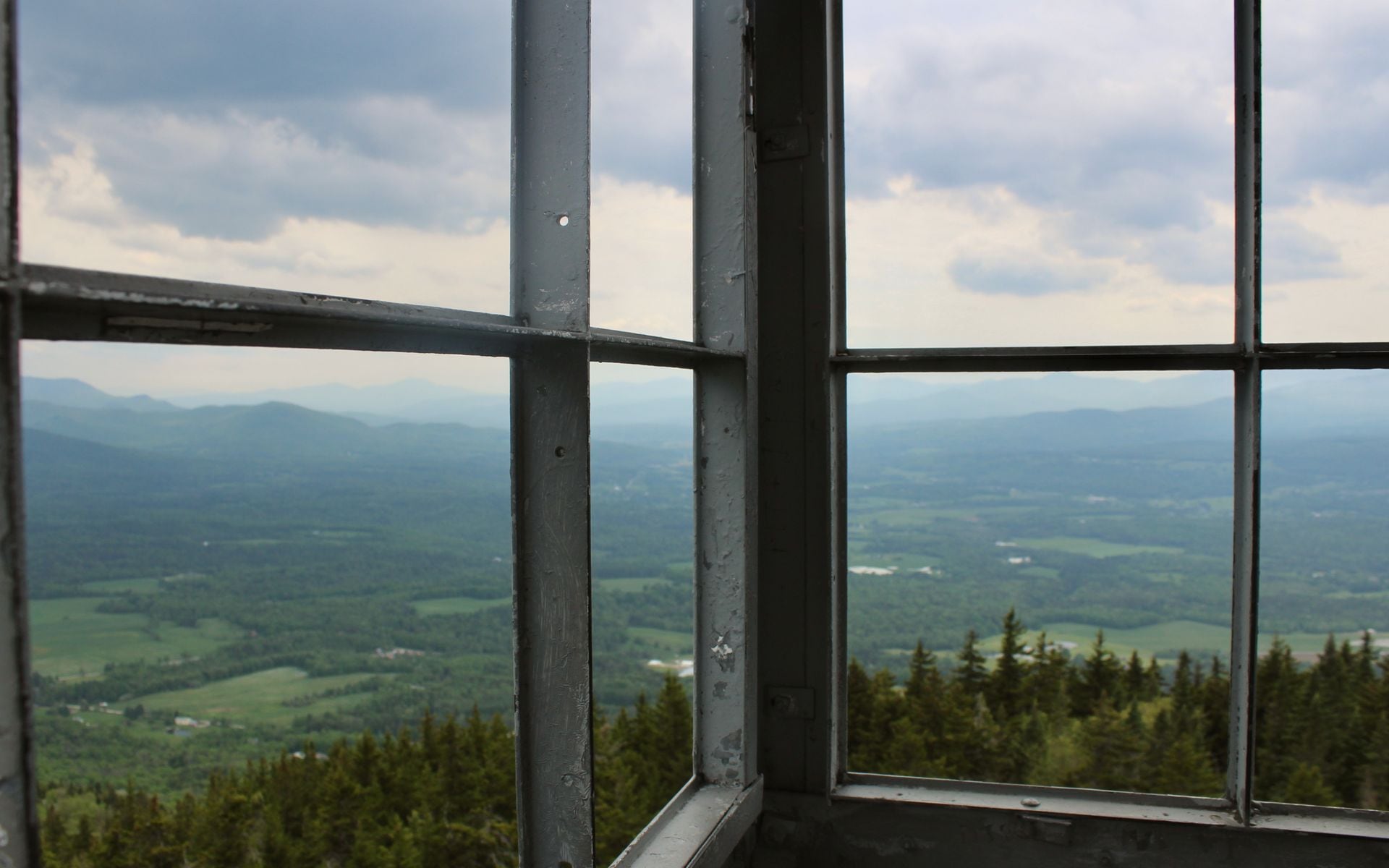
Groton State Forest in the Northeast Kingdom covers 26,000 acres of mixed hardwood and conifer forest, granite outcrops, and bog lakes in Caledonia County, about 16 miles east of Montpelier on Route 302. The Owls Head trail is 3 miles round trip with about 550 feet of gain to a restored fire tower summit at 1,958 feet. The tower is open and gives a full 360-degree view: Lake Groton directly below, the White Mountains of New Hampshire on the eastern horizon on a clear day, and a dense forest grid in every other direction. The fire tower changes the experience entirely for a summit this modest. The trailhead is inside Groton State Forest at the New Discovery State Park access road; a day-use fee applies in summer. Peacham, about 8 miles north on Route 302, is one of the most photographed villages in the Northeast Kingdom and a good stop before or after the hike.
Stratton Mountain via the Long Trail
Stratton Mountain at 3,940 feet is the highest point in southern Vermont and the summit where Benton MacKaye and James Taylor reportedly developed the concepts for both the Long Trail and the Appalachian Trail in the early 1900s. The Long Trail and AT share the same tread for the approach from Kelley Stand Road in Arlington, covering 7.4 miles round trip with roughly 1,800 feet of elevation gain. The upper section is forested to the summit, where a fire tower and cleared views north and south reward the climb. The Stratton ski resort runs a gondola in summer for lift-assisted access, but the Kelley Stand Road trailhead bypasses the resort entirely and starts from free roadside parking. Arlington is about 22 miles southwest of Manchester on Route 7A.
Hildene, The Lincoln Family Home on Route 7A in Manchester is about 14 miles north of the Arlington trailhead and makes a natural add-on the day before or after your Stratton hike. The 412-acre estate has its own walking trails through meadows, formal gardens, and along the Battenkill River valley, with a full house tour covering Robert Todd Lincoln's Vermont years. Manchester also has a good range of lodging. Use the Vermont inns directory to find options in the Manchester area before you go.
Quick Comparison
| Hike | Distance (RT) | Elevation Gain | Difficulty | Best For |
|---|---|---|---|---|
| Mount Mansfield (Sunset Ridge) | 6.6 mi | 2,300 ft | Strenuous | Best summit views in Vermont |
| Camel's Hump (Monroe Trail) | 7.4 mi | 2,600 ft | Strenuous | Undeveloped alpine summit |
| Mount Hunger (Waterbury Trail) | 3.8 mi | 2,100 ft | Moderate-Strenuous | Best effort-to-view ratio |
| Sterling Pond Trail | 2.8 mi | 1,000 ft | Moderate | High pond, short day |
| Mount Philo State Park | 2.6 mi | 500 ft | Easy | Families, Lake Champlain views |
| Rattlesnake Cliffs, Moosalamoo | 5.5 mi loop | 1,200 ft | Moderate | Least crowds, old-growth forest |
| Owls Head, Groton State Forest | 3.0 mi | 550 ft | Easy-Moderate | Northeast Kingdom, fire tower |
| Stratton Mountain (Long Trail) | 7.4 mi | 1,800 ft | Strenuous | Southern Vermont summit, history |
Frequently asked questions
What is the best beginner hike in Vermont?
Mount Philo State Park in Charlotte is the most accessible summit hike in the state. The trail is about 2.6 miles round trip with roughly 500 feet of elevation gain, and the open west-facing outlook gives a full view of Lake Champlain and the Adirondacks in New York. It is about 12 miles south of Burlington on Route 7 and takes two to three hours at a comfortable pace. The Sterling Pond Trail in the Smugglers' Notch area is another solid option at 2.8 miles round trip, reaching a high-elevation pond at 3,000 feet elevation with about 1,000 feet of gain.
What is the hardest hike in Vermont?
Camel's Hump via the Monroe Trail is the most demanding on this list, with 2,600 feet of elevation gain over 7.4 miles round trip to an open alpine summit at 4,083 feet. The upper mile above treeline is fully exposed to weather and the approach is sustained and steep. Mount Mansfield via the Sunset Ridge Trail is comparable, with 2,300 feet of gain over 6.6 miles and a long exposed ridge walk at the top. Both require four to six hours, solid footwear, and layers for summit temperatures that can be in the 40s even in summer.
When is the best time to hike Vermont's mountains?
Late June through mid-October is the primary window, with September through early October being the best weeks overall: dry conditions, comfortable daytime temperatures at elevation in the 50s and 60s, and fall color beginning on the high ridges. Avoid trails above 2,500 feet from mid-April through Memorial Day due to mud season. Saturated mountain soil from snowmelt causes erosion that takes years to repair, and the Green Mountain Club has posted this guidance at high-country trailheads consistently for decades. By mid-June most trails on the high peaks are solid. Winter hiking is quiet below treeline; the exposed ridges of Mansfield and Camel's Hump require at minimum microspikes from December through March.
Do you need a permit to hike Vermont trails?
Most Vermont trailheads, including all Long Trail day hike access points and approaches to Camel's Hump, Mount Mansfield, and Killington via the Bucklin Trail, are free and require no permit. Vermont State Parks charge a day-use fee at staffed entrances, typically an estimated $4 to $5 per adult for parks like Mount Philo and Groton State Forest. Long Trail backcountry overnight sites have a suggested donation of $5 per person per night, collected by Green Mountain Club caretakers at staffed shelters. No advance reservation is required for any day hike on this list.