What to expect
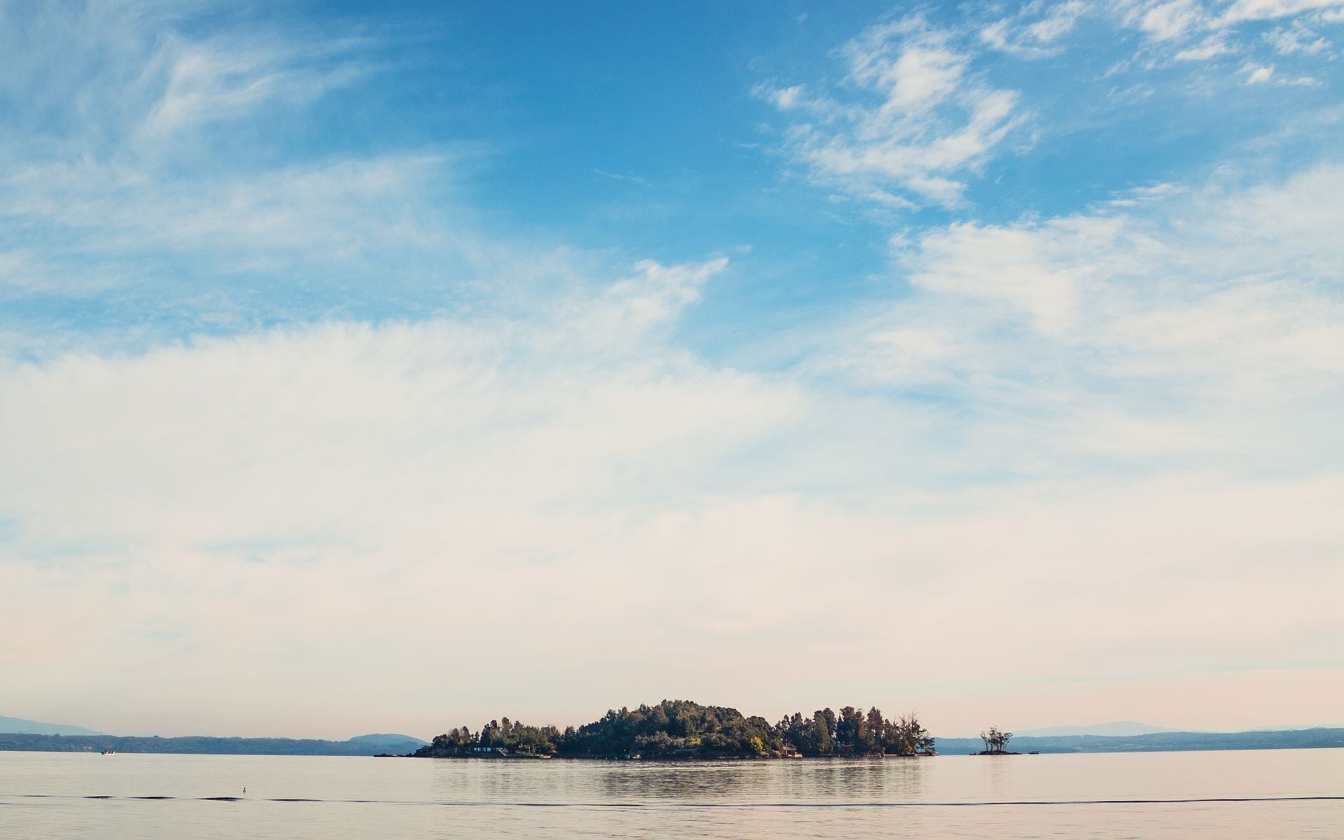
The lake covers roughly 490 square miles, reaches a maximum depth of about 400 feet, and sits at an elevation of just 95 feet above sea level, which is why the Champlain Valley is one of Vermont's warmest and most agricultural corridors. Burlington anchors the Vermont shoreline near the midpoint of the lake. South of the city the land opens into the flat farmland of Shelburne, Charlotte, and Ferrisburgh, where dairy farms run right to private docks and Shelburne Farms fronts the water on a 1,400-acre working estate. North of Burlington, the Champlain Islands chain extends into the lake via US-2: South Hero, Grand Isle, North Hero, and the small limestone plateau of Isle La Motte, where fossils of the Chazy reef, among the oldest coral reefs in the world, surface in the bedrock.
The Lake Champlain and Burlington region is the natural base for exploring the water. From downtown Burlington the waterfront is a 10-minute walk. The ferry docks, the paved lakeside bike path, the ECHO Leahy Center for Lake Champlain, and several outfitters are all within a half-mile of each other. Shelburne is 8 miles south of Burlington and easy to combine in a single day, especially if you want to add Shelburne Farms or the Shelburne Museum to a lake visit.
What to do there
Sailing is the most quintessential way to experience the lake. Whistling Man Schooner Co. departs from Burlington's College Street dock and runs 2-hour daytime cruises and evening sunset sails aboard a classic wooden schooner. Tickets run roughly $60 to $80 per person (estimate), and summer dates book out well in advance, so reserving a few weeks ahead online is worth doing. The evening sail is the better call if you want to see the Adirondacks light up after the sun passes behind them. Kayak and paddleboard rentals are available from several Burlington waterfront outfitters if you want to be on the water yourself. The harbor is calm enough for beginners, and more confident paddlers can reach Juniper Island, roughly 2 miles offshore, in under an hour.
For swimming, North Beach in Burlington's North End has a sand beach, lifeguards from late June through Labor Day, and parking that costs around $5 to $10 per car (estimate). Sand Bar State Park near Milton, about 20 minutes north of Burlington, is consistently one of Vermont's most popular beaches: a narrow, shallow causeway stretches into the lake and the water warms up faster than it does near the deep Burlington waterfront. Expect crowds on July and August weekends; a Tuesday morning visit is a different trip entirely. Water temperatures in the shallows hit the upper 60s°F by mid-July and can reach the low 70s°F in a warm summer.
The Burlington Bike Path runs just under 8 miles along the lake from the Texaco Beach area south toward Oakledge Park. It connects several parks and passes the ECHO Leahy Center, which has interactive exhibits on the lake's ecology and the naval history from the War of 1812, when the Battle of Lake Champlain was fought in Plattsburgh Bay just north of the Vermont islands. Admission is around $14 to $16 for adults (estimate). The full range of lake and paddling activities across Vermont extends well beyond Burlington, but the waterfront here is the densest concentration of options in the state.
The Lake Champlain Ferries run from Burlington's King Street Ferry Dock to Port Kent, New York, a 60-minute crossing that doubles as a scenic boat ride framed by the Green Mountains behind you and the Adirondacks ahead. A round-trip car ferry ticket typically runs $45 to $55 for a standard vehicle and driver (estimate); walk-on passengers pay far less. A shorter crossing operates from Grand Isle to Cumberland Head, New York, and takes about 12 minutes. A third route runs from Charlotte, about 14 miles south of Burlington, to Essex, New York, in around 20 minutes. After a day on the water, Foam Brewers on Lake Street in Burlington sits a short walk from the ferry dock, with a patio that looks back across the water, and pours small-batch IPAs and stouts brewed on-site. Farmhouse Tap & Grill on Bank Street, a few blocks inland, serves locally sourced burgers and keeps a rotating list of Vermont and New England beers on tap.
Getting there and access
Burlington International Airport (BTV) is about 3 miles east of downtown, under 10 minutes from the waterfront by car. From Boston the drive north on I-93 to I-89 takes about 3.5 hours in normal traffic. From New York City, plan on 5.5 to 6 hours: take I-87 north to the Champlain Bridge crossing near Crown Point, New York, then cross into Vermont on VT-73 or continue north to Burlington. The Burlington waterfront has metered street parking and a paid garage near College Street; both fill by noon on summer weekends, so arriving before 10 a.m. is worth the early start.
The Champlain Islands are accessible by car via US-2 from South Burlington with no tolls or ferry required to reach them. The drive from Burlington to North Hero at the far northern end of the chain is about 40 miles and takes roughly 45 minutes. You can make a loop by taking the Grand Isle-to-Cumberland Head ferry across to New York and returning via the Burlington ferry, though that requires planning the ferry times in advance. Car reservations on the Burlington-to-Port Kent crossing are strongly recommended from July through Labor Day; walk-on and bicycle passengers can board on a space-available basis.
Best time to go
Summer is the clear window for being on the water. June brings warming temperatures and manageable crowds before the July school-out rush. The Burlington waterfront scene is at its most active from mid-June through Labor Day, and the island farms have farm stands open and the camping season in full swing. July and early August are the warmest weeks for swimming but also the busiest for parking, ferries, and the North Beach lot.
September changes the character of a lake visit. The water stays warm enough to paddle comfortably through most of the month, the beaches quiet down, and the foliage on the hills surrounding the valley begins to turn. The Champlain Valley sits at a lower elevation than the Northeast Kingdom or the high Green Mountains, so it colors later, usually peaking in early to mid-October. Combining a lake visit with the best fall foliage drives in Vermont around the valley and the islands in late September and early October is one of the more underrated Vermont experiences. The islands in particular offer quiet back-road drives through farms and orchards with the lake visible through the tree lines.
Good to know
Lake Champlain has its own resident lake creature mythology: Champ, the Vermont equivalent of Nessie, supposedly first recorded by Samuel de Champlain in 1609. The sightings are taken seriously enough that both Vermont and New York have passed resolutions protecting Champ from harm, and the creature has its own following of enthusiasts. Whether you encounter Champ or not, the local bookstores and island gift shops carry a dedicated section of Champ literature. More practically, cell service degrades significantly on the Champlain Islands, especially on Isle La Motte, so downloading offline maps before you head out north on US-2 is worth doing.
Boat launch fees at state lake access areas run around $15 to $20 per day for non-residents trailering a boat (estimate). If you rent a kayak or paddleboard from a Burlington outfitter, no launch fee applies. Dogs are allowed on the Burlington Bike Path year-round. If you're combining the lake with a longer Vermont stay, planning 2 to 3 days in Burlington and the surrounding area gives you enough time to be on the water rather than just see it from the road.
Frequently asked questions
How big is Lake Champlain?
Lake Champlain is about 120 miles long and up to 12 miles wide, covering roughly 490 square miles. It reaches a maximum depth of around 400 feet near Burlington. The Vermont shoreline runs along the eastern side, with Burlington near the midpoint and the Champlain Islands extending north toward Canada.
Can you swim in Lake Champlain in Vermont?
Yes. North Beach in Burlington's North End and Sand Bar State Park near Milton are the two most visited public beaches on the Vermont side, both with sandy shorelines and lifeguards through the summer. Water temperatures in the shallows reach the upper 60s to low 70s°F by mid-July. Water quality is generally good but algae blooms can occur in late summer near shallow coves, so check state advisories on warm, calm days.
Is there a ferry across Lake Champlain?
Lake Champlain Ferries operates three Vermont-to-New York crossings: Burlington to Port Kent, New York (about 60 minutes), Grand Isle to Cumberland Head (about 12 minutes), and Charlotte to Essex (about 20 minutes). The Charlotte-Essex route is useful if you're coming from the south. Car reservations are strongly recommended on the Burlington route in July and August. Walk-on passengers board on a first-come basis.
What is the best way to see Lake Champlain?
From a boat. Whistling Man Schooner Co. runs sailing cruises from Burlington's College Street dock, and kayak rentals are available along the waterfront if you want to paddle on your own. If you're staying on shore, the Burlington Bike Path gives about 8 miles of lakefront access. The Champlain Islands, reached via US-2 north of Burlington, offer the quietest and most agricultural version of the lake, with farm stands, dirt roads, and water visible from nearly every turn.